The Joint Management Area (JMA) covers an area of 396,000 square kilometers beyond the existing exclusive economic zones (EEZ) of both Mauritius and Seychelles.
On 15 February 2021, UNDP Mauritius and Seychelles, in partnership with the Department for Continental Shelf, Maritime Zones Administration and Exploration in Mauritius, have launched ArcGIS (Global Information System) Enterprise training sessions to further strengthen the administration of the JMA. A geospatial supporting tool, the Global Information System will be used as a means to enable (i) the building of technical and management capacity in support of Marine Spatial Planning, and (ii) for the development of a data and information system along with a programme of data capture and gap-filling, as a foundation for an adaptative management strategy.
ArcGIS (Global Information System) Enterprise training sessions which are being organized for the first time in Mauritius, will address a variety of needs, including data creation, modification, visualization, analysis and dissemination. Facilitated by ESRI South Africa, between 15 February to 26 February 2021, these training sessions represent an opportunity for 12 participants to develop skills for the future management of the Joint Management Area. These sessions will also allow participants to have access to geospatial exercises on how to use the software, installation as well as configuration.
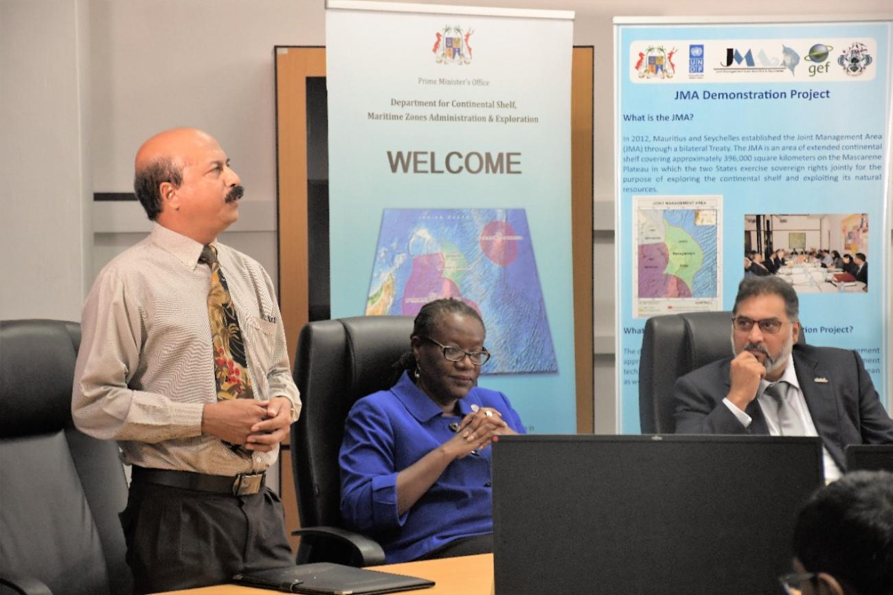
The UNDP-JMA ArcGIS Enterprise Training was launched by Ms. Amanda Serumaga, UNDP Resident Representative for Mauritius and Seychelles, Dr Rezah Badal, National Project Director and Prof. Aneerav Sukhoo, Deputy Director of the Central Information Systems Divisions. Dr Rezah Badal provided key background information about the origins of the UNDP-JMA Demonstration Project while Ms. Amanda Serumaga emphasized the role of the participants as “pioneers” and encouraged them to make the best use of the knowledge being imparted to benefit Mauritius and Seychelles. Prof. Aneerav Sukhoo, who mentioned that the GIS generates raster and vector data, highlighted that this tool could also be of great use in other fields such as management and geography.


